Smrčná
Smrčná | |
|---|---|
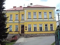 Municipal office, formerly a German school | |
 Flag 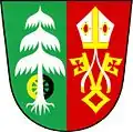 Coat of arms | |
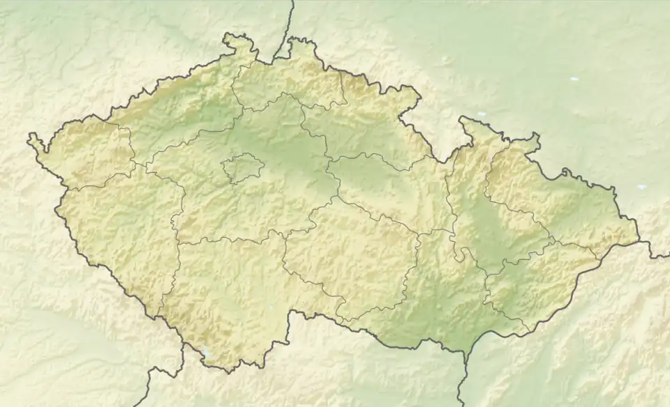 Smrčná Location in the Czech Republic | |
| Coordinates: 49°28′17″N 15°32′16″E / 49.47139°N 15.53778°E | |
| Country | |
| Region | Vysočina |
| District | Jihlava |
| First mentioned | 1233 |
| Area | |
• Total | 12.37 km2 (4.78 sq mi) |
| Elevation | 584 m (1,916 ft) |
| Population (2025-01-01)[1] | |
• Total | 480 |
| • Density | 39/km2 (100/sq mi) |
| Time zone | UTC+1 (CET) |
| • Summer (DST) | UTC+2 (CEST) |
| Postal code | 588 01 |
| Website | www |
Smrčná (Czech pronunciation: [ˈsmr̩tʃnaː]; German: Simmersdorf) is a municipality and village in Jihlava District in the Vysočina Region of the Czech Republic. It has about 500 inhabitants.
Smrčná lies approximately 9 kilometres (6 mi) north-west of Jihlava and 106 km (66 mi) south-east of Prague.
History
The first written mention of Smrčná is from 1233.[2]
Demographics
| Year | Pop. | ±% |
|---|---|---|
| 1869 | 886 | — |
| 1880 | 839 | −5.3% |
| 1890 | 814 | −3.0% |
| 1900 | 883 | +8.5% |
| 1910 | 991 | +12.2% |
| 1921 | 915 | −7.7% |
| 1930 | 728 | −20.4% |
| 1950 | 424 | −41.8% |
| 1961 | 469 | +10.6% |
| 1970 | 390 | −16.8% |
| 1980 | 345 | −11.5% |
| 1991 | 296 | −14.2% |
| 2001 | 296 | +0.0% |
| 2011 | 354 | +19.6% |
| 2021 | 455 | +28.5% |
| Source: Censuses[3][4] | ||
References
- ^ "Population of Municipalities – 1 January 2025". Czech Statistical Office. 2025-05-16.
- ^ "Historie" (in Czech). Obec Smrčná. Retrieved 2022-04-25.
- ^ "Historický lexikon obcí České republiky 1869–2011" (in Czech). Czech Statistical Office. 2015-12-21.
- ^ "Population Census 2021: Population by sex". Public Database. Czech Statistical Office. 2021-03-27.
External links
Wikimedia Commons has media related to Smrčná.