Sère-Rustaing
Sère-Rustaing | |
|---|---|
.svg.png) Coat of arms | |
Location of Sère-Rustaing | |
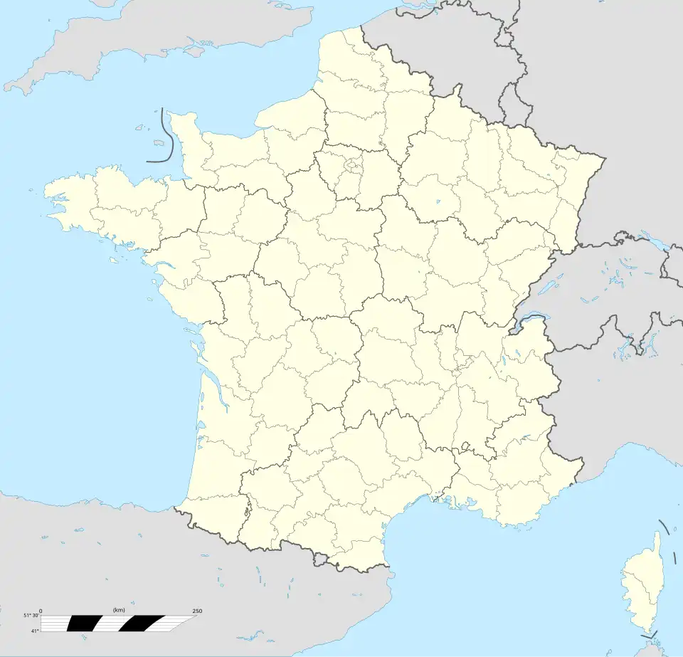 Sère-Rustaing 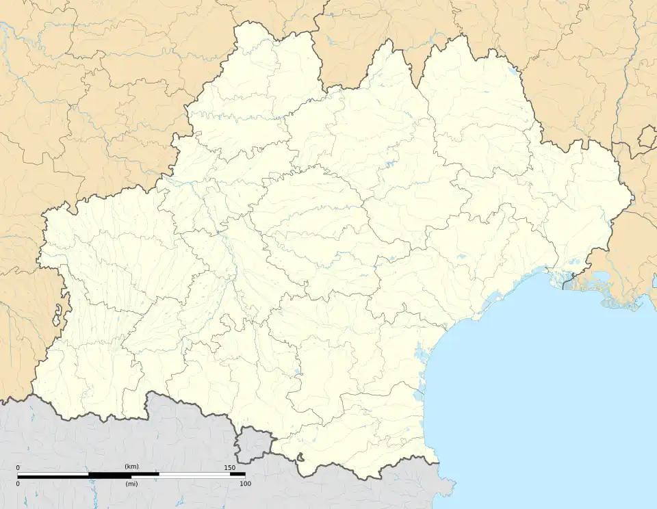 Sère-Rustaing | |
| Coordinates: 43°15′47″N 0°17′42″E / 43.2631°N 0.295°E | |
| Country | France |
| Region | Occitania |
| Department | Hautes-Pyrénées |
| Arrondissement | Tarbes |
| Canton | Les Coteaux |
| Intercommunality | Pays de Trie et Magnoac |
Area 1 | 5.29 km2 (2.04 sq mi) |
| Population (2022)[1] | 128 |
| • Density | 24/km2 (63/sq mi) |
| Time zone | UTC+01:00 (CET) |
| • Summer (DST) | UTC+02:00 (CEST) |
| INSEE/Postal code | 65423 /65220 |
| Elevation | 330–456 m (1,083–1,496 ft) (avg. 400 m or 1,300 ft) |
| 1 French Land Register data, which excludes lakes, ponds, glaciers > 1 km2 (0.386 sq mi or 247 acres) and river estuaries. | |
Sère-Rustaing (French pronunciation: [sɛʁ ʁystɛ̃]; Occitan: Cèra d'Arrostanh) is a commune in the Hautes-Pyrénées department in south-western France.
See also
References
- ^ "Populations de référence 2022" (in French). The National Institute of Statistics and Economic Studies. 19 December 2024.
Wikimedia Commons has media related to Sère-Rustaing.