Chemin, Jura
Chemin | |
|---|---|
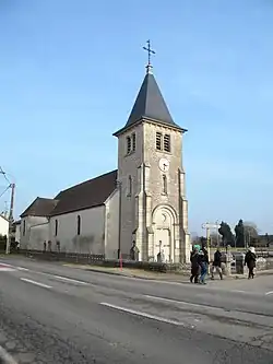 The church in Chemin | |
 Coat of arms | |
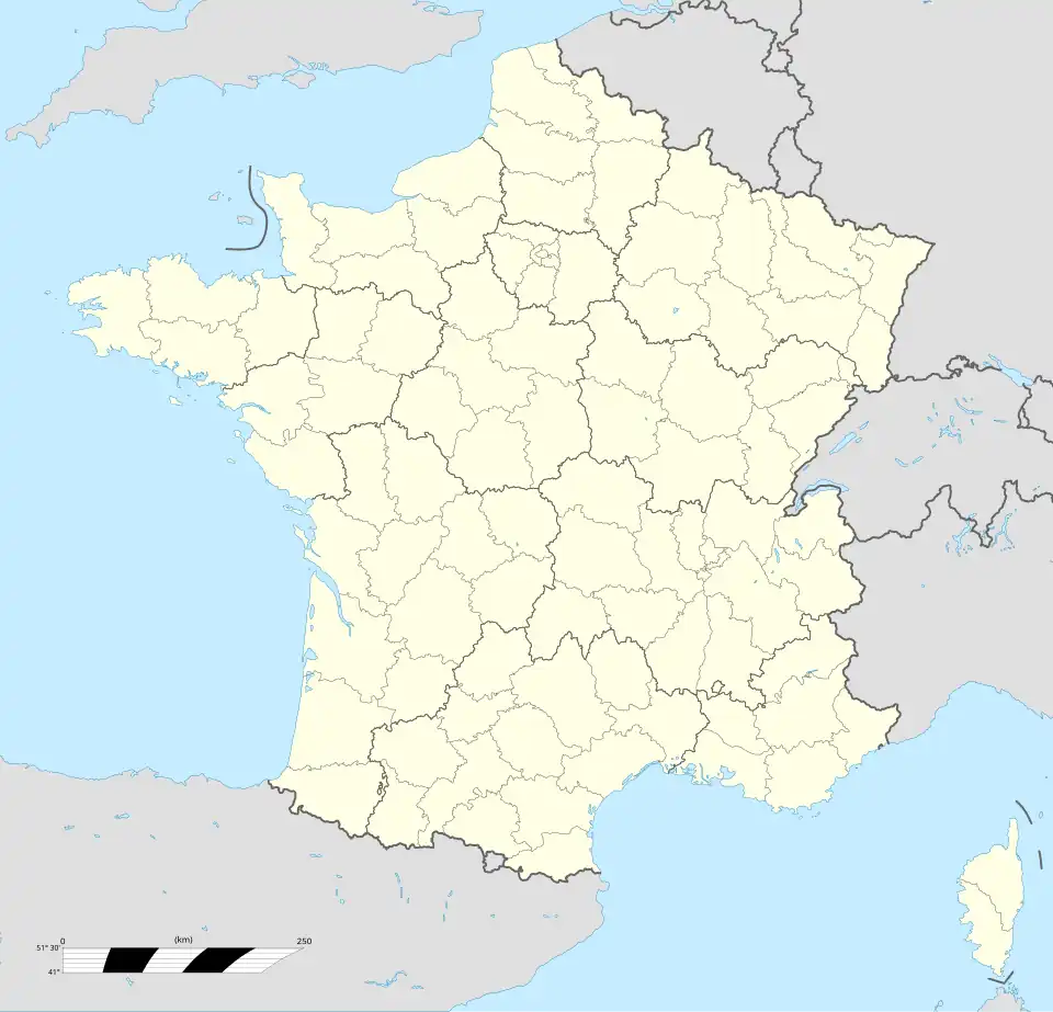
Location of Chemin | |
 Chemin 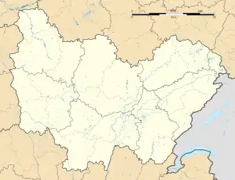 Chemin | |
| Coordinates: 46°58′52″N 5°19′01″E / 46.9811°N 5.3169°E | |
| Country | France |
| Region | Bourgogne-Franche-Comté |
| Department | Jura |
| Arrondissement | Dole |
| Canton | Tavaux |
| Government | |
| • Mayor (2020–2026) | Annie Jobelin[1] |
Area 1 | 9.14 km2 (3.53 sq mi) |
| Population (2022)[2] | 317 |
| • Density | 35/km2 (90/sq mi) |
| Time zone | UTC+01:00 (CET) |
| • Summer (DST) | UTC+02:00 (CEST) |
| INSEE/Postal code | 39138 /39120 |
| Elevation | 182–188 m (597–617 ft) |
| 1 French Land Register data, which excludes lakes, ponds, glaciers > 1 km2 (0.386 sq mi or 247 acres) and river estuaries. | |
Chemin (French pronunciation: [ʃəmɛ̃] ⓘ) is a commune in the Jura department in Bourgogne-Franche-Comté in eastern France.[3]
Population
| Year | Pop. | ±% p.a. |
|---|---|---|
| 1968 | 317 | — |
| 1975 | 294 | −1.07% |
| 1982 | 333 | +1.80% |
| 1990 | 383 | +1.76% |
| 1999 | 380 | −0.09% |
| 2009 | 355 | −0.68% |
| 2014 | 344 | −0.63% |
| 2020 | 334 | −0.49% |
| Source: INSEE[4] | ||
See also
References
- ^ "Répertoire national des élus: les maires" (in French). data.gouv.fr, Plateforme ouverte des données publiques françaises. 13 September 2022.
- ^ "Populations de référence 2022" (in French). The National Institute of Statistics and Economic Studies. 19 December 2024.
- ^ INSEE commune file
- ^ Population en historique depuis 1968, INSEE
Wikimedia Commons has media related to Chemin (Jura).